
New map of Roman roads dispels 'all roads lead to Rome'
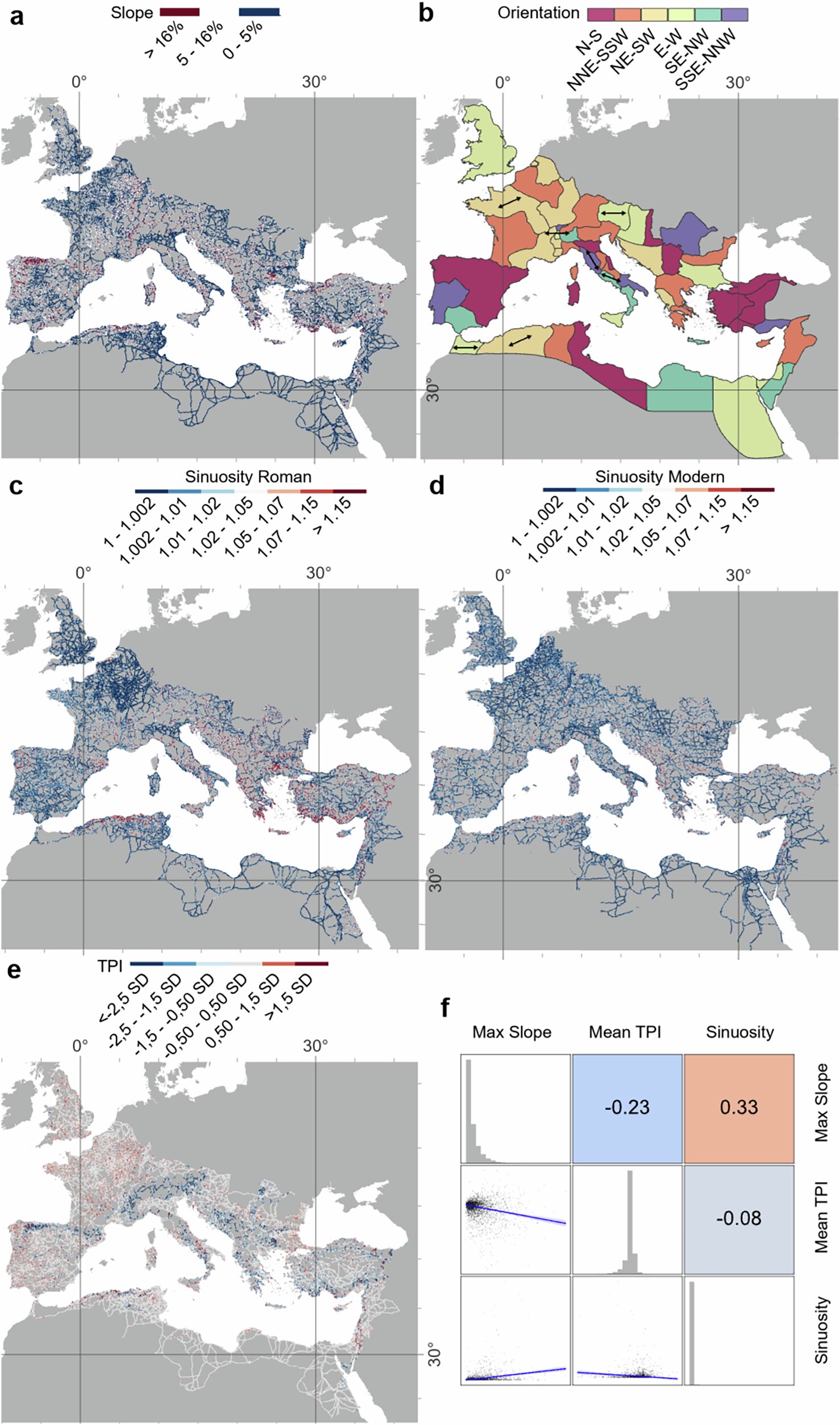
A team from Aarhus University, Queen Mary University of London and other European institutions mapped almost 300,000 kilometers of Roman roads, the most detailed picture yet of the empire's network. Published in Nature Communications on September 15, the study challenges the old saying that all roads lead to Rome. Not straight, it turns out. Roman engineers bent routes around mountains, rivers and valleys, using terracing, bridges and retaining walls to cross tough terrain. Dr. Adam Pazout, the study's lead author, said provincial capitals often served as "vital crossroads, mediating regional overland communications."
Historians and travelers now have a clearer picture of how the Roman Empire actually linked its cities and provinces.
Source: Not all roads lead to Rome: Research challenges what we think we know about Roman roads (phys.org).
Written by the HappyGood desk from the primary source linked above and checked against it. Every story links its source. Corrections: [email protected].
More from the archive
- Howell High School football field covered in groceries for New Jersey food banks November 2, 2026
- Families donate nearly half a tonne of food to Great Yarmouth Foodbank October 31, 2026
- Missing person found safe ashore after West Shore lifeboat launch October 31, 2026
- Mikala Sposito wins first WorldSkills welding medal for a woman October 31, 2026
- JT Ryan’s Bar quiz raises £680 for Pulmonary Fibrosis NI October 31, 2026